Photos taken June ’12 via camera & camera phone, hence different photo sizes
Another find via geocaching. Seriously, if you’ve never geocached, get a GPS or smartphone and go play already.
I was surprised to read that a ghost town was only 20 minutes or so from me. Lausanne, near present-day Jim Thorpe, has very little written about it, and not all that much remains. The little I know has come from a geocaching description and talking to a group of anthropologists (more on that later).
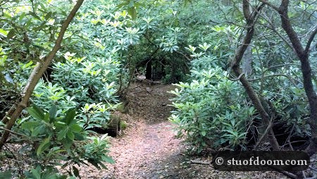
With almost no knowledge and armed only with a camera, phone, and GPS, I set out early in the morning to the first set of coordinates. I knew the trek would be a few miles (how many exactly, I forget now) and that I was being led to a few different locations. This corridor of green was a promising start to the expedition:
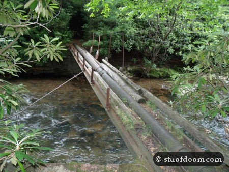
I had read that there would be the remains of an old toll bridge somewhere along the trail. I crossed water three times on the way to the first destination, but I wasn’t sure just where the bridge was supposed to have been. The first crossing had an actual bridge, one of the more unusual ones I’ve seen:
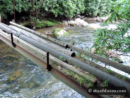
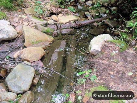
The second crossing had some old planks and pipes in the water, but seeing that this was barely a stream and I stepped over it without getting my shoes wet, I highly doubt there was a toll bridge here:
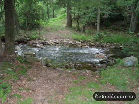
Yet another crossing led to a somewhat larger stream with a rock wall nearby. Maybe the bridge was here.
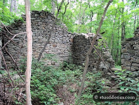
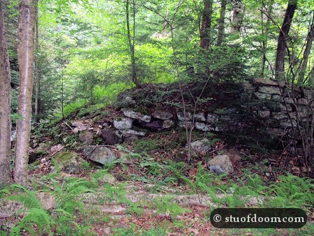
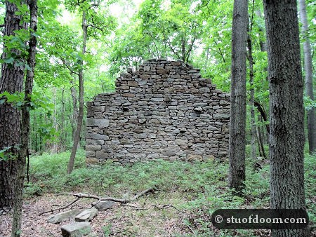
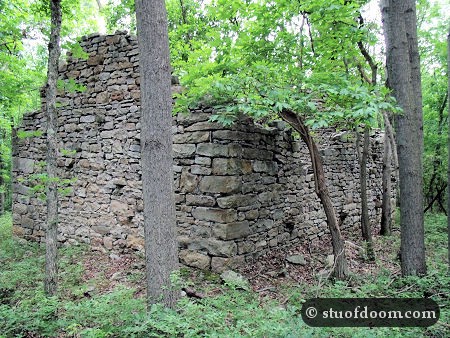
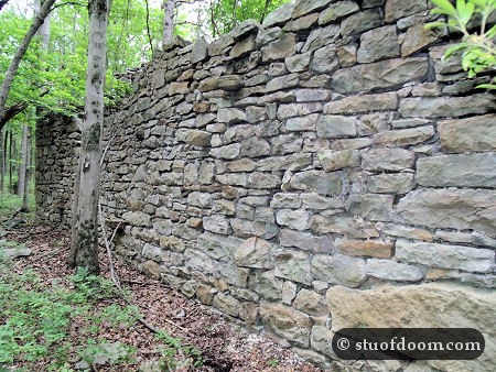
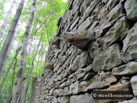
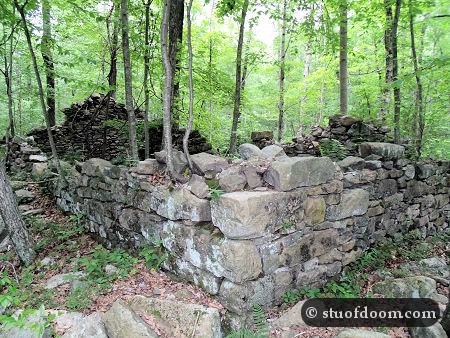
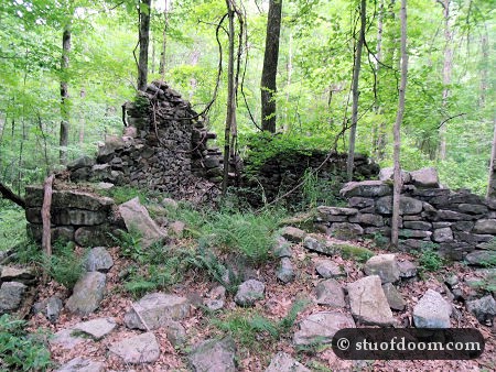
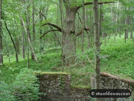
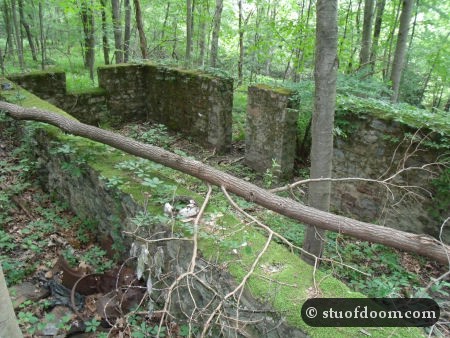
After getting lost once and crossing three streams (or the same stream three times) I finally came to the first goal of my tour of Lausanne – several foundations of either houses or storage buildings (as per one of the anthropologists I spoke with):
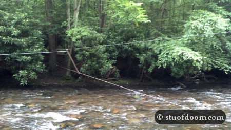
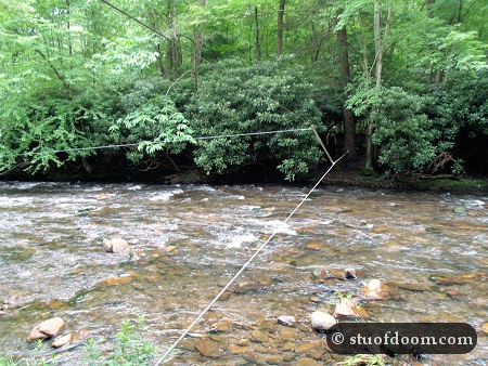
I roamed among the ruins of the homes/storage buildings for a little bit and then entered a second set of coordinates that would take me somewhat back the way I just came from, but past my starting point. But first there was one more water crossing, this time over a type of bridge I had never seen before. And this time it was the actual Lehigh River, not some piddle of a stream.
Yep, this “bridge” was just two cables going across the river. I was about to cross when I noticed someone coming from the other side. And then someone else. And then another. About a dozen people came across the bridge and looked rather confused with me being there.
One talked to me and I explained I was ghost town hunting/geocaching. They told me they were anthropologists from Temple University and had an excavation site not too far away. I asked if they knew about Lausanne at all, and one said he did. He was the one that said the houses I just came from may have instead been used for storage. We talked a little longer, and then I decided it was time to make my way across the cable bridge and finish up my exploration of Lausanne.
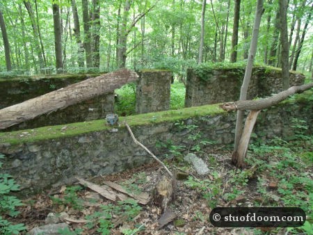
I finally made it to the old town square; a hotel and post office once stood at the site.
I roamed the area for a little bit; a lot of it was quite overgrown. I then made my way back to the car, which was not that far away from the town square. All in all, this was a fun little adventure. Being guided to different areas by GPS coordinates and having to cross the cable bridge really made this outing stand out.






just wanted to mention, that i did this hike as well and just wanted to clarify that the steel cable bridge goes over the Nesquehoning creek, not the Lehigh river. it is a great historical hike however. i enjoyed it .
I’d really like to check this place out…I know the post is 3 years old but do you still have the coordinates? 🙂 pwease 🙂
Ah, nevermind…found the coordinates 🙂