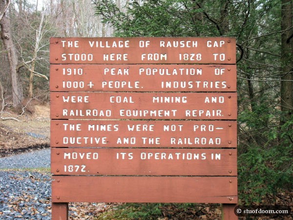
Hidden in between Fort Indiantown Gap Military Reservation and Swatara State Park in northern Lebanon County are the ruins of the town of Rausch Gap, once a mining and railroad town. The basics are up on that sign right there, so I’m not going to reiterate all of them. Basically, the area’s coal mines went dry quickly. Soon after, the railroad company moved all its employees and operations to larger and busier towns along the tracks, leaving virtually no employment in the area. Throw in the fact that Rausch is smack in the middle of an area known as Saint Anthony’s Wilderness (it’s still almost wilderness today), and you have the recipe for a ghost town.
Rausch Gap can only be accessed by a hiking/biking trail that runs partially along the Appalachian Trail. One end is shorter but is much more brutal on cars to reach its parking area. The other end, the one I ended up using, has much more accessible parking but requires a 3.5 mile hike to get to the town. This is, to date, the farthest I’ve hiked to reach a site and easily crushes my previous record of 1.5 miles to reach Dana, MA.
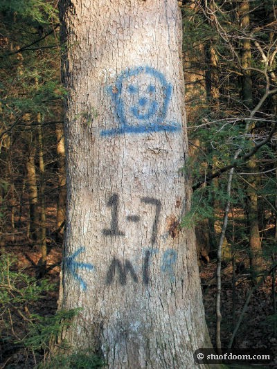
On the trail to the town are several random mile markers spray painted onto trees:
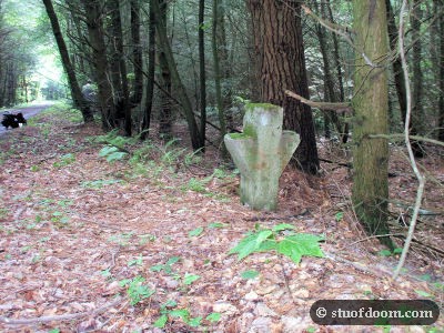
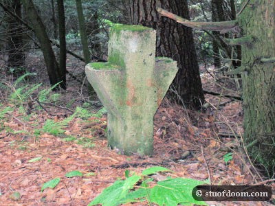
Also along the trail are concrete markers. I’d find out later on that the trail leading to town was once the very railroad track that gave life to the towns of the “Wilderness,” and these concrete things actually held spare pieces of track in case the rail line ever needed repairs.
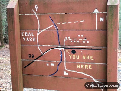
After a long and seemingly perpetual 3 1/2 mile hike, you come across a bridge and a sign. One side of the sign is the info pictured above. The other is a map:
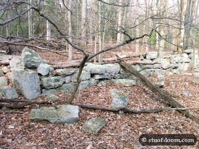
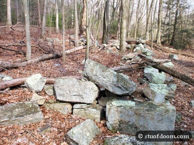
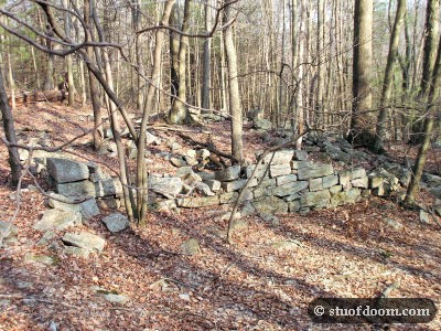
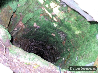
Let’s back up a bit. Just before coming up to this sign…if we go about 300 feet off the right side of the trail, we come across some of the town’s ruins, including a well.
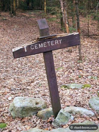
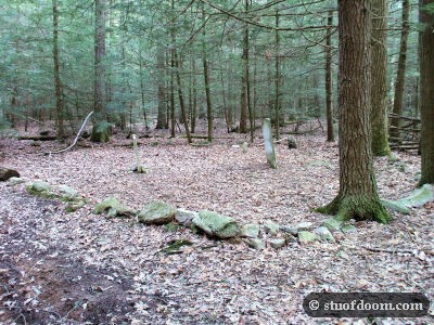
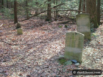
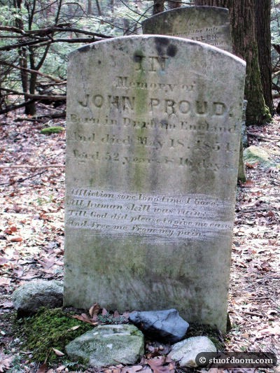
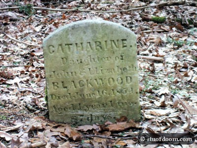
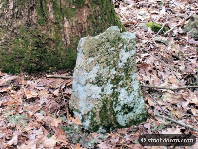
OK, back up at the bridge, there’s a small trail that goes off to the left just before crossing it. Taking this down about 1/3 of a mile leads to a tiny cemetery with only 3 headstones. There is a 4th stone but nobody’s really sure if it’s a badly weathered headstone or just a rock.
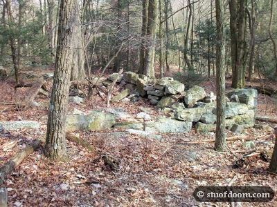
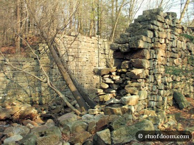
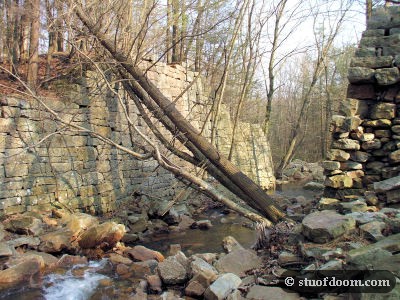
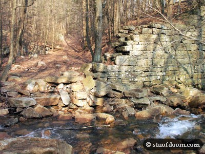
I didn’t have much daylight left and still had to hike another 3 1/2 miles back out, so I quickly explored the other side of the bridge. I found the remains of an old stone bridge.
That was about all I had time to find. I had about an hour to get back out to the road.

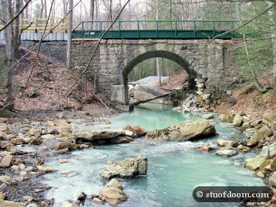


That first picture (18th one down) of under the bridge–how come the water is white and cloudy? Is that mineral water or something?
Hi Stu: I am planning a book on industrial ruins with a photographer friend of mine. We think that you might have photos that would fit our theme. Are you interested in contributing?
That whole part of the stream is a strange green color. Forget what exactly it is, but they’re using minerals to try and balance out the water’s pH level because the mining ruined it.
There was said to be a large train accident in the early 1900’s due to a member of the Raush Gap town not switching the railroad tracks. Is this true??
The unusual color of the water is due to a nearby limestone diversion well, which is just out of view in the picture of the bridge that is still intact. Its purpose is to lower the ph, which is high because of the coal pollution of the water.
as you can see my sir name is rausch, so therefore i was really interested in this.blog. i really want to know how it got the name Rausch. i love the pictures thank you especially the stone bridge. my family are searching roots
No one knows how it got the name as it was founded by a Dr. Benjamin Kugler of Philladelphia. A noted industrialist of the period. He patented a method of converting coal to natual gas and founded many of the small towns in the area while he was involved with railroad surveying. Accordingly he was also quite invested financially with those corporations. The creek and mountain pass were named before he arrived so the thought is the first explorers named the area. I have no idea about any train wrecks there, but being a railroad worker my whole adult life I can say that accidents in that time were quite common and often horrific. But they rarely fazed people becuase of how often they occured.
The railroad left in 1872 to sites further up the line and I understand that the tracks disappeared in or around 1945. I’ve been loosely involved with the area for 20+ years and talked to some who study the area in depth. It is the first I heard any mention of a train wreck, but as Erik said, they were likely prevalent(generally speaking). If town was abandoned by 1910, I doubt there was much railroad traffic from 1900 forward. Just theories though. If that book is published, i’m interested in a copy.
friend talked me into going hiking this is where we stayed,thought I was going to die I am that out of shape but by the time we got there it was all well worth it love to find some old pics of the town
I didn’t even know that is there and I live real close by, a place called Camp Strause. Have to see if I can find it. Love the pics.
Some friends and I just hiked here yesterday. Found your website listed in one of the geocaches we found. It’s a really neat area to explore.
I heard the same thing about the train crash but I can’t remember where I saw it. I thought it was on a monument or something at that location but it has been 18-20 years since I was there last. I did a quick google search and all I came up with was on some ghost hunter website talking about the crash and hundreds of people died due to a resident not moving or operating the switch and later she threw herself in front of a fast moving train in the same area because she couldn’t live with all her grief. So I am not sure if it happened or not. A very interesting place to walk around and explore.